

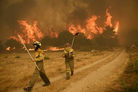
ALBAWABA - As the climate changes, wildfires rage across France, Spain, and Italy; satellite tech company Thales Alenia Space has developed a tool to fight against wildfires using AI.
The project works by giving a specially trained AI access to images acquired by the Φsat-2 multispectral satellite camera of high-risk wildfire areas across the globe;
The AI analyzes the images and if a fire is detected it will locate burnt areas, calculate the size of wider affected areas, and detect the presence of water bodies and safe zones - cutting down on time, costs, and human error.
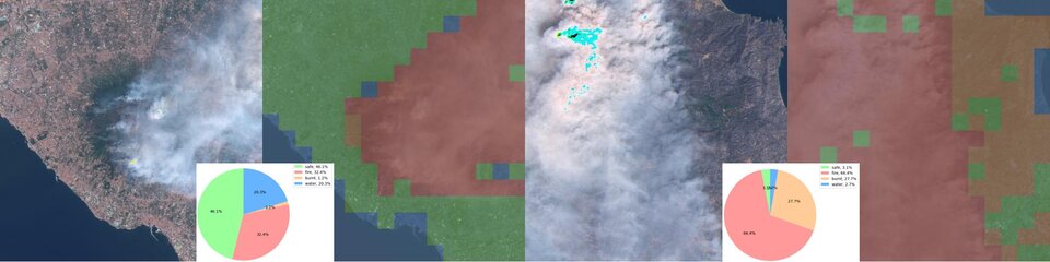
Wildfire satellite image analysis (PhiFireAI / Thales Alenia Space)
It shines in that it has no delay, it processes satellite images as soon as they are available and sends the results and information to users in real time, offering huge added value by providing information for current fire monitoring databases and autonomously detecting hazards directly from space.
The innovative fire detection app was a winner in ESA’s OrbitalAI Challenge, a competition to develop AI models capable of processing satellite data directly onboard spacecraft, thereby enhancing efficiency, autonomy, and real-time decision-making.